
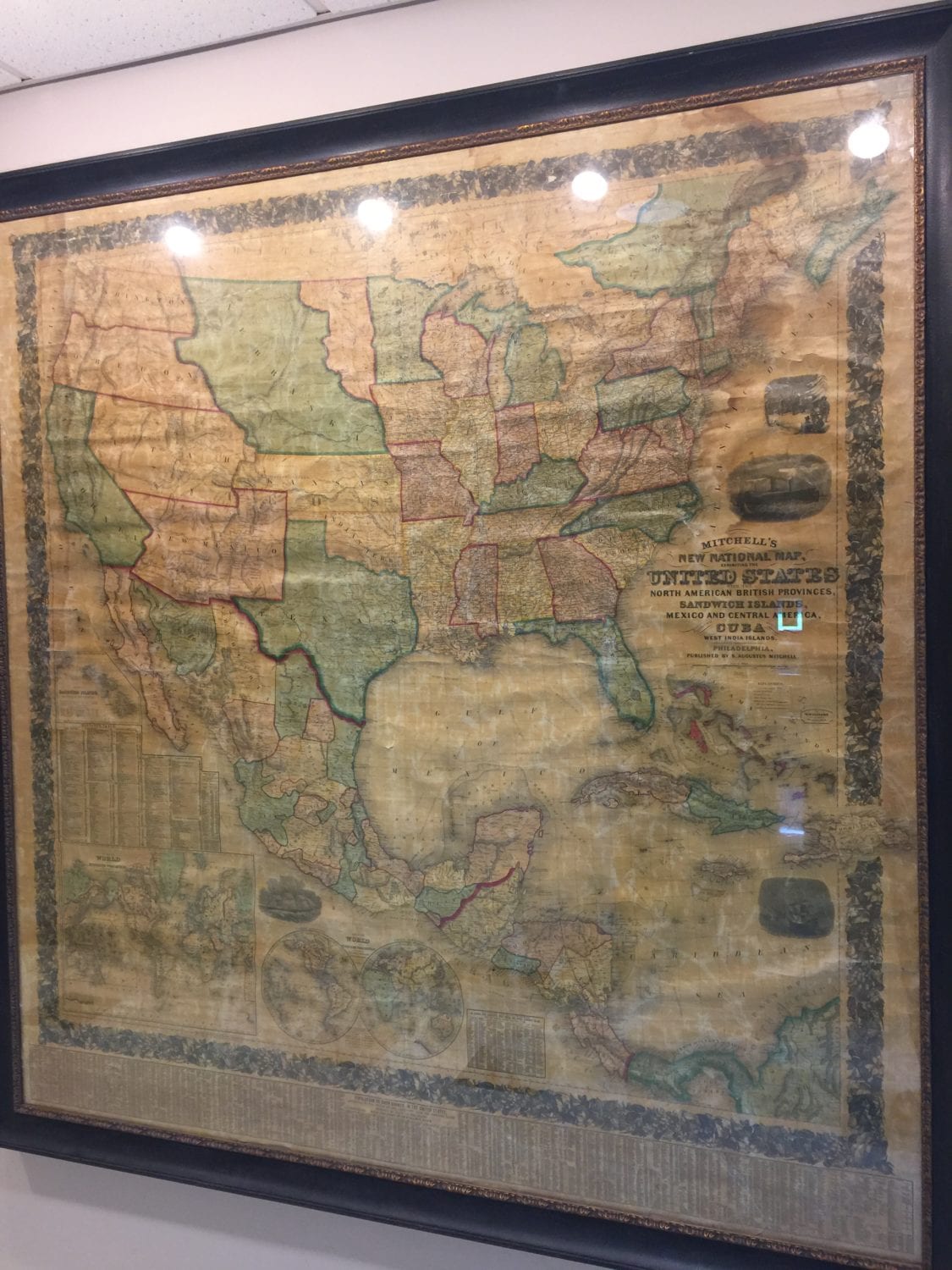

The 1857 map is on display on the first floor of Titchener Hall.
Join SUNY Broome President Kevin E. Drumm and the campus community at 11 a.m. Thursday, Oct. 4, as we dedicate a rare, original United States Civil War-era map that was donated to campus by Professor Douglas Garnar.
Preserved and framed, the map is located in the first-floor east end of the Titchener Building. This map was created in 1860 by Samuel Augustus Mitchell, and exhibits the United States with the North American British Provinces, Sandwich Islands, Mexico and Central America, together with Cuba and the other West India Islands.
