
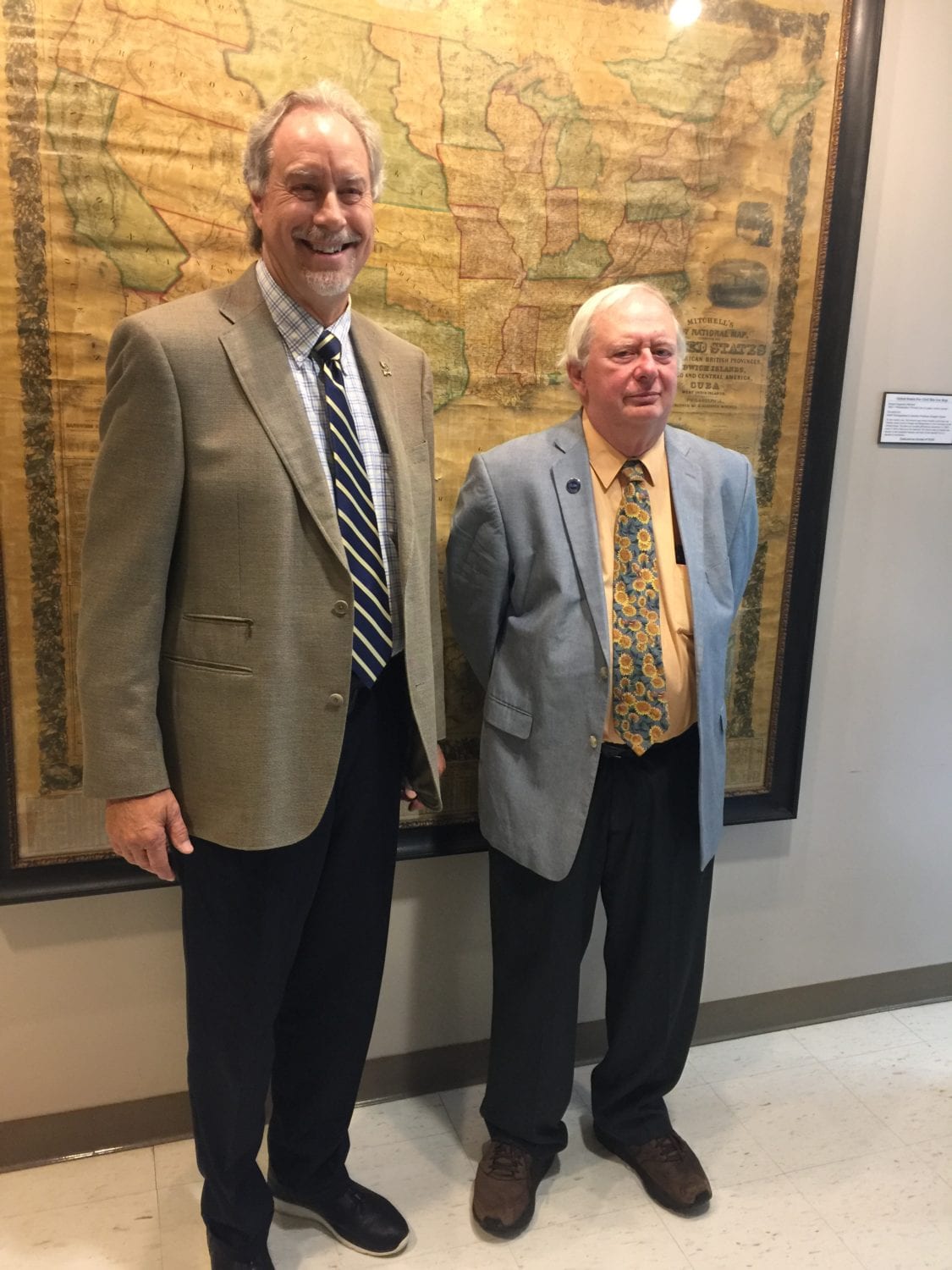

SUNY Broome President Kevin E. Drumm discusses a historic 1857 map donated by Professor Doug Garnar
Now hung in the first floor of Titchener Hall, a vintage 1857 map gives students a glimpse of the nation’s pre-Civil War past.
Hand-colored and created by S. Augustus Mitchell, the large wall map was donated to the campus by Professor Emeritus Doug Garnar, an avid preserver of local history. Professor Garnar was honored for his donation in a Oct. 4 ceremony in Titchener Hall.
“We’re so grateful for Doug’s decision to donate this to the college, to preserve this piece of pre-Civil War history,” SUNY Broome President Kevin E. Drumm said. “When students can look at historical artifacts, it makes history come alive.”
Professors have already made us of it as a pedagogical resource. “I sometimes bring my students out here for my Civil War class,” Professor Steven Call said.
He has them note the features that place the map securely in its timeframe: Kansas and Nebraska have been separated, courtesy of the 1854 Kansas-Nebraska Act, but West Virginia hasn’t yet separated from Virginia – a divorce prompted by the Civil War. Oklahoma is still listed as “Indian territory,” a legacy of the Trail of Tears that forcibly relocated Native Americans from the southeastern states.
The Broome Community College Foundation facilitated the donation, and arranged for the historic map to be preserved – an intricate task.

SUNY Broome President Kevin E. Drumm and Professor Doug Garnar in front of the 1857 map.
“This is an amazing piece that he unselfishly gave so students, staff and faculty can learn about history in a more tangible way,” Foundation Executive Director Cathy Williams said of Garnar.
The map came into Professor Garnar’s hands by chance. Until just recently, he lived in a historic four-room schoolhouse in Smithville Flats. In the early 1980s, a man buying a store located at the end of Garnar’s driveway gave him the map for free – fittingly, as it turns out, because Mitchell, a former teacher disgusted with the cartography of his day, designed maps such as this one for schoolroom use.
Intending to install the map on the second floor, Garnar put it in his attic for safekeeping – and promptly forgot it until he was readying the house for sale over the summer and rediscovered it.
Click here to read more about the map, and why 1857 was such an interesting year.
“There’s a lot of history in this map. Three years after this map was created, the guns at Fort Sumter began to roar,” Professor Garnar said.
